National Land Commission

Shortlisting result for Surveyor I for the vacancy announcement dated 25- Oct-2024 to 5-Nov-2024

Shortlisting result for Surveyor I for the vacancy announcement dated 25- Oct-2024 to 5-Nov-2024, for Mongar, Dagana and Zhemgang Dzongkhags on Regular Appointment Click Here
IMPORTANT NOTICE
  • Shortlisted candidates are requested to bring all the original documents along with certificates at the time of the interview, failing which will result in not being able to sit for the interview.
  • NLCS would like to thank all the participants who have applied for the advertised post. For further information/clarification, please contact HRD at telephone No.02-336389/336703/339229 during office hours.

Successful Conclusion of Executive-Level Meeting on NSDI

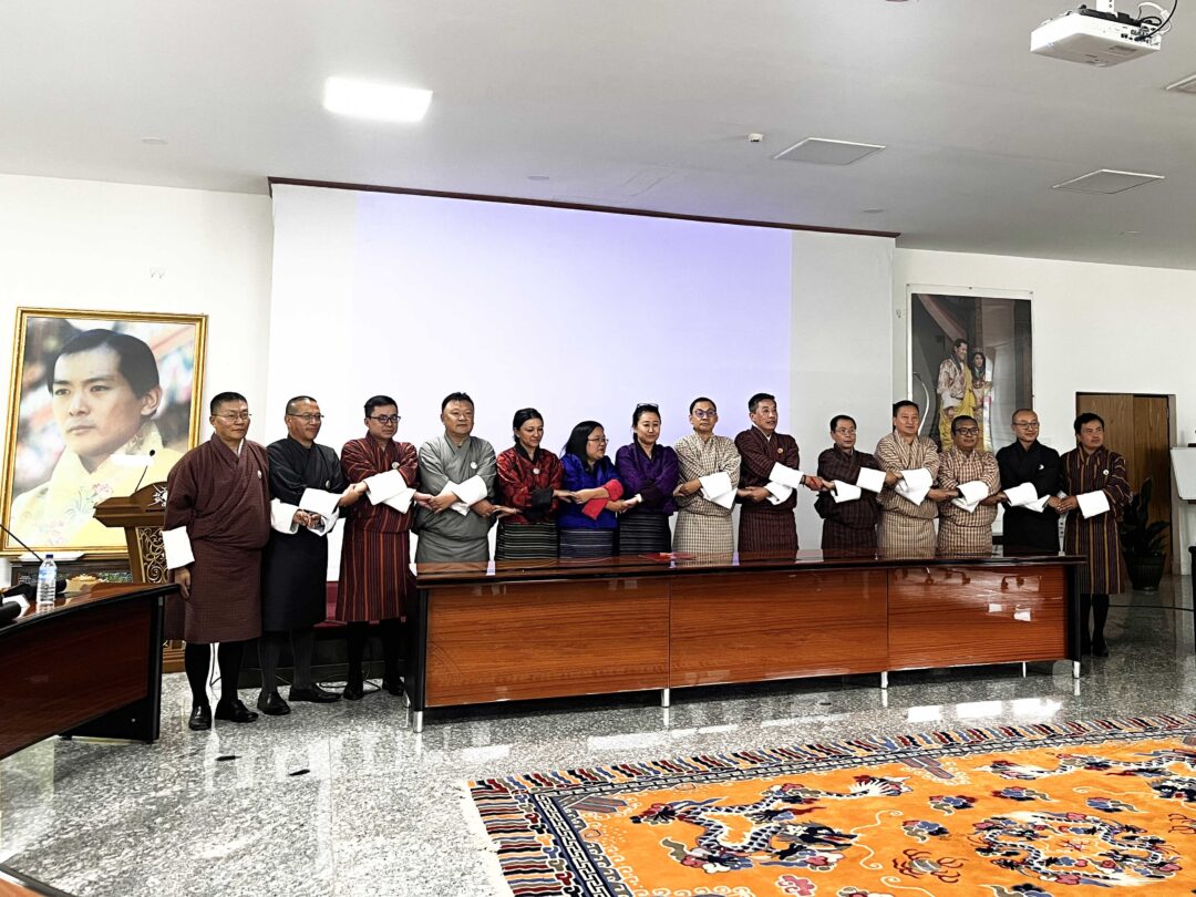
The executive-level meeting on the National Spatial Data Infrastructure (NSDI) has concluded successfully, marked by the signing of a Memorandum of Understanding (MoU) between the Centre for Geo-Information (NLCS) and various member agencies. This pivotal agreement, titled “MoU between the Centre for Geo-Information (NLCS) and Member Agencies for Geospatial Data Management and Sharing through the Bhutan National Spatial Data Infrastructure,” establishes a formal collaboration for the integration, management, and sharing of spatial data through the NSDI system.

Upcoming Workshop on Spatial Data Integration

In alignment with the consensus reached during the executive meeting, we are pleased to announce an upcoming workshop scheduled for the first week of November. This workshop will engage working-level groups to focus on integrating spatial data from each agency into the NSDI system, ensuring that it is prepared for public accessibility.

Acknowledgements

We extend our sincere gratitude to all participants for their contributions, which facilitated productive discussions and the successful outcomes of the executive-level meeting. This MoU marks a significant advancement in our collaborative efforts and the ongoing development of NSDI initiatives in Bhutan.

Stay tuned for further updates!

Enhancing Land Security: Upgrading eSakor with National Digital Identity

Enhancing Land Security: Upgrading eSakor with National Digital Identity

The National Land Commission Secretariat (NLCS) is upgrading eSakor with the National Digital Identity (NDI) system to enhance security. This upgrade will protect against unauthorized access, reducing risks like online impersonation and fraudulent land transactions.

We are working closely with GovTech to implement this feature quickly, ensuring minimal disruption. To learn more about the benefits of the NDI platform, please watch our promotional video. 

Click to watch


LAND TRANSACTION STATISTICAL REPORT 2023-2024

Land Transaction Statistical Report 2023-2024​

This consolidated statistical report provides a comprehensive analysis of rural and urban land transactions across Dzongkhags and Thromdes, with the aim of understanding land dynamics.
The quantitative analysis of land transaction approved by the three division, the Rural Land Division, Urban Land Division, and Land Management Division thereby promotes transparency and accountability, and enhances public service delivery for sustainable land management.

Full Report Click Here 

Advancing Geospatial Infrastructure: Highlights from the 4th JCC Meeting

Advancing Geospatial Infrastructure: Highlights from the 4th JCC Meeting

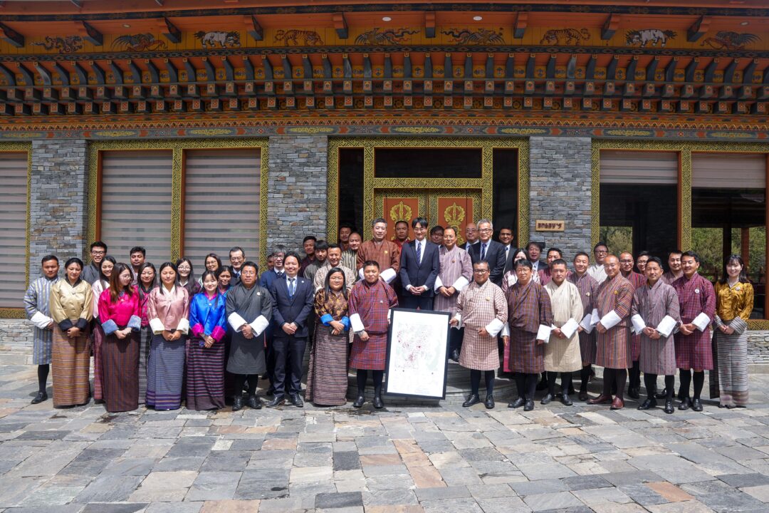
On May 21, 2024, the National Land Commission and the JICA counterpart of the project organized the 4th Joint Coordination Committee (JCC) meeting for the project on “Promotion of Utilization of Geospatial Information through Development of National Spatial Data Infrastructure.” During the meeting, project team members provided updates on the overall progress and achievements of the project’s two outputs.
Output 1: Capacity development for operational planning and implementation for the strategic utilization and promotion of NSDI.
Output 2: Capacity development for creating, updating, managing, and utilizing digital topographic maps.
The project’s activities focus on developing a common geospatial data-sharing platform, establishing geographic information standards, and creating one of the fundamental geospatial datasets: the digital topographic map with resolutions of 1:25,000 and 1:5,000.

National Land Commission receives high-resolution satellite images for strategic developmental projects

National Land Commission receives high-resolution satellite images for strategic developmental projects

Two sets of high-resolution satellite images were handed over to the National Land Commission Secretariat in Thimphu today. The images are of the north-central and major urban areas of Bhutan with more details of each location. The National Land Commission Secretariat says the delivered images can be used for various developmental plans such as disaster prevention, agriculture, water resource management, urban development and forest conservation. 

According to the National Land Commission Secretariat, the high-resolution satellite images will be used to develop a digital topographic map that will cover almost two-thirds of the country’s entire area.

The satellite image with a resolution of 1/25,000 covers the north-central region spanning some 17,000 square kilometres.

According to the Secretariat, a similar digital topographic map of the southern region was developed in 2017 using satellite images of resolution 1/25,000.

“Initially, we had 1:50,000 topographical maps, but now we are developing the 1:25,000 digital topographic map. So, compared to 1:50,000, 1:25,000 is considered a larger and higher resolution topographic map. So, this will be used across all the agencies and we are targeting to achieve 1 to 25,000 topographic maps of the entire country by 2025,” said Samten Dhendup, director at the Department of Surveying and Mapping, NLCS.

Considering more developmental activities taking place in the urban areas, the Secretariat is in the process of developing a higher resolution topographic map of 1/5,000 for Paro, Thimphu, Phuentshogling, Lhamoidzingkha, Sarpang, Bumthang, Monggar, Trashigang, and Gyalpozhing.

The official added that there is an ongoing project to further develop the topographic map for the northern region. However, the priority will be given to the south and central as these regions see more developmental activities.

The topographic maps will have a detailed and accurate representation of the locations as the commission along with the Japanese officials went to the site to survey and fix any distortion found on the satellite image.

“We are getting a raw satellite image. So once you get a raw satellite image we need to superimpose that to our earth’s surface. So when we superimpose over the earth’s surface we need to fix some prominent ground control points and ground stations. So for that, we need to go to the site and do some control point observation surveys. Then, based on that data these images will be super geo-referenced. So once it is geo-referenced then only we’ll be able to use it in the planning activities,” said Samten Dhendup, director.

He added the topographic maps will help create digital elevation models. This model, similar to a 3D model, will help get a better idea of the land while formulating development plans.

The satellite images were supplied by a Japanese company as part of the NLCS’s Project on Development of Digital Topographic Map. The project which started in 2022 is expected to be completed by next year.

New Brand Guidelines for the National Land Commission Secretariat

New Brand Guidelines for the National Land Commission Secretariat
The 175th Friday Forum featured a presentation by Mr. Tshering Gyeltshen, representing BRIDGEN TEAM unveiled the new Brand Guidelines for the National Land Commission Secretariat. These guidelines serve as a blueprint for ensuring a unified and impactful representation of the organization’s brand. This includes clear rules on logo usage, emphasizing the importance of maintaining sufficient space around the logo for visibility and impact. A designated color palette is provided to maintain brand cohesion, along with guidelines for typography to ensure consistency across all communication materials. Additionally, the guidelines stress the importance of maintaining a professional and authoritative tone of voice in all messaging. Visual elements, including approved imagery, are also highlighted, emphasizing the need to align with the organization’s mission and values to reinforce its identity effectively.
 
By adhering to these guidelines, the National Land Commission Secretariat aims to present a consistent and recognizable brand image, reinforcing its credibility and authority in its communications with stakeholders and the public. Click here to Download the copy.

Soft Launch of Enhanced eSakor System

We are thrilled to announce the launch of the upgraded eSakor system. The system is now accessible to all citizens through https://esakor.nlcs.gov.bt and can also be reached via the NLCS website www.nlcs.gov.bt.

Scroll to Top