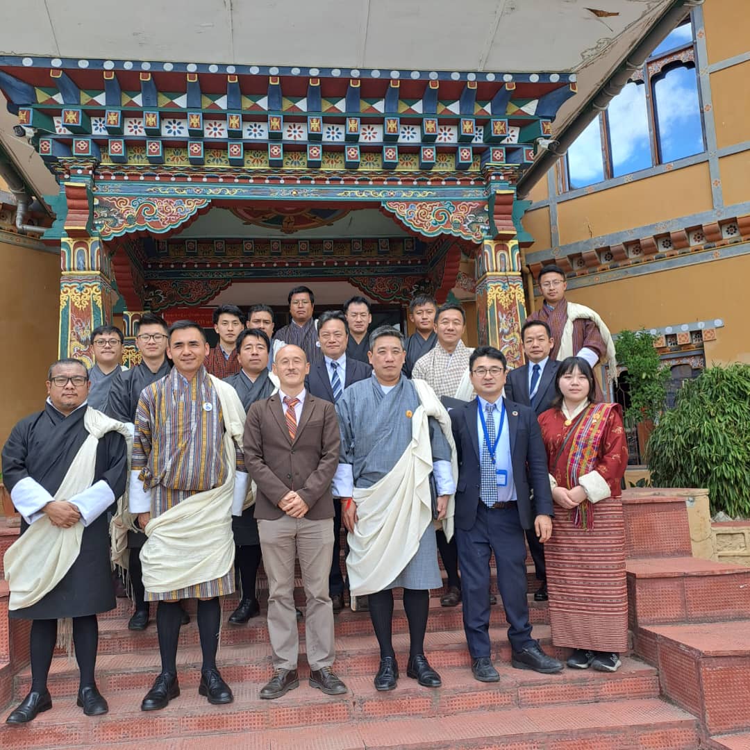
Advancing Geospatial Infrastructure: Highlights from the 4th JCC Meeting

On May 21, 2024, the National Land Commission and the JICA counterpart of the project organized the 4th Joint Coordination Committee (JCC) meeting for the project on “Promotion of Utilization of Geospatial Information through Development of National Spatial Data Infrastructure.” During the meeting, project team members provided updates on the overall progress and achievements of the project’s two outputs.
Output 1: Capacity development for operational planning and implementation for the strategic utilization and promotion of NSDI.
Output 2: Capacity development for creating, updating, managing, and utilizing digital topographic maps.
The project’s activities focus on developing a common geospatial data-sharing platform, establishing geographic information standards, and creating one of the fundamental geospatial datasets: the digital topographic map with resolutions of 1:25,000 and 1:5,000.

Sir/madam
I would like to know that I have purchased land in year 2012 which was y plot (excess land grand kidu by king)I knew later only due to I couldn’t update tham from his name where at first I have completed the process from gewog to dzongkhag they have sent to NLCS head office Thimphu.
Now do I needs to process again from first or will be Okey by that old owner ship papers la
Thanks you
Thank you for reaching us. Please contact Mr. Mon Bahadur (Customer head) 17829365